 English
  Français
  Español
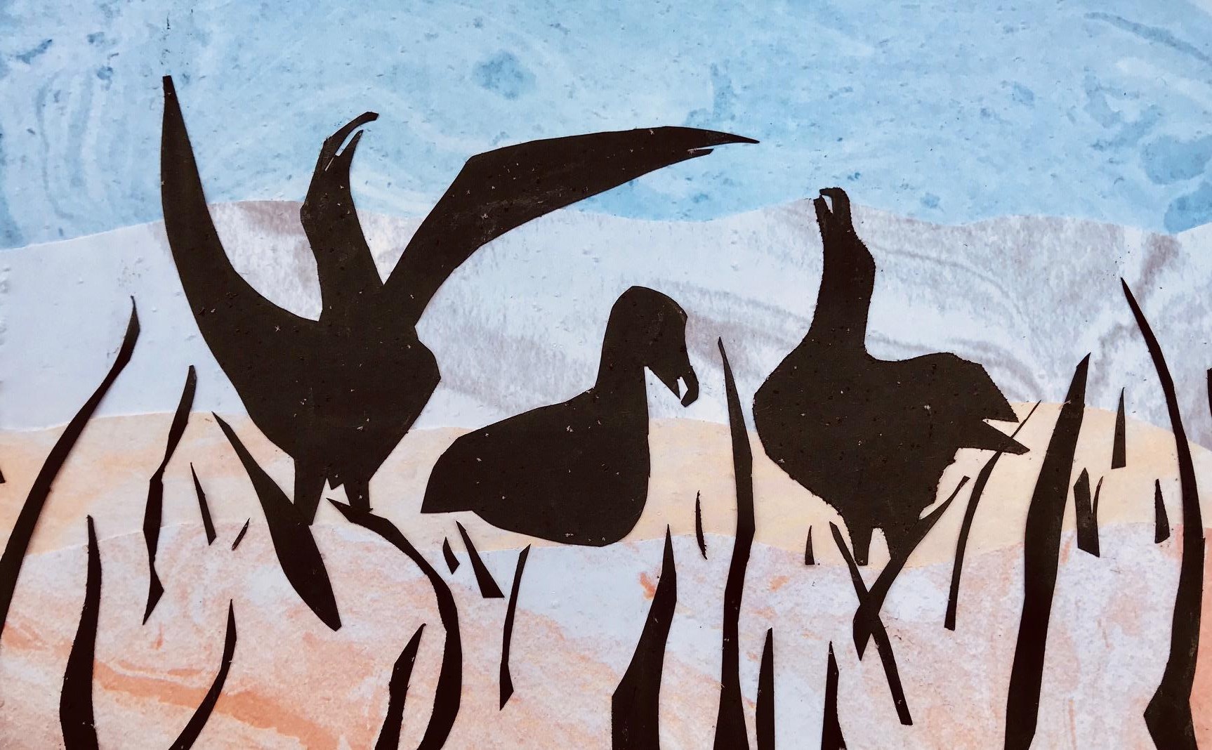
"Sing a Song" - paper collage for ACAP by Ellyn Bousman Lentz, after a photograph of Wandering Albatrosses by Michelle Risi
Lonneke Goddijn-Murphy (Environmental Research Institute, University of the Highlands and Islands, Thurso, United Kingdom) and colleagues have published in the journal Remote Sensing Applications: Society and Environment on the value of utilizing `Earth Observation data via satellites for studies of seabird and their habitats, at breeding colonies and at sea.
The paper’s abstract follows:
“Remote sensing, the science of obtaining information about objects or areas from a distance, has the potential to contribute greatly to conservation, ecology and biodiversity studies. Here, we introduce remote sensing capabilities that could contribute to seabird studies, covering remoting sensing of seabirds directly, and indirectly through remote sensing of seabird habitats. We focus on satellite remote sensing, as these data are the most readily available, and are mostly freely available, and we also present some additional Earth observation (EO) data. This is not an exhaustive list, rather a selection of practical and user-friendly data and tools that are publicly available. At present, the spatial resolution of optical commercial satellite imagery is high enough to identify the largest seabirds such as penguins and albatrosses. Military satellites are capable of higher resolutions that can detect 10 cm objects, but these are not available to the general public. Satellite observation and other EO datasets containing geographic and sea surface condition variables are useful for complementing seabird sightings and tracking data, with their associations justifiable for certain species, breeding status and locations. This paper is aimed at researchers in the fields of seabird conservation, ecology, and biodiversity whose research would benefit from satellite data and from knowing what data sources are available.”
See also a report on a publication in ACAP Latest News on counting albatrosses from space.
With thanks to Alex Bond.
Reference:
Goddijn-Murphy, L., O’Hanlon, N.J., James, N.J., Masden, E.A. & Bond, A.L. 2021. Earth observation data for seabirds and their habitats: An introduction. Remote Sensing Applications: Society and Environment 24. doi.org/10.1016/j.rsase.2021.100619.